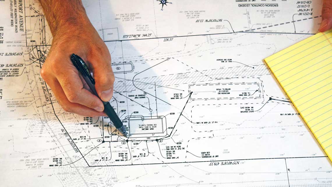
Planning and site design tasks are very important to do FIRST so you can avoid costly mistakes. Typical errors include property line set-back limits and other zoning and township or county regulations. Let BedRock Siteworks help you identify requirements for permitting and zoning for your township or county.
General Progression of Requirements
There are a basic set of requirements that must be considered for every excavation project. They are:
- Investigate all possible zoning issues for your location
- Apply for a zoning or building permit
- Generate engineered structural plans for retaining walls (typically when higher than 3-4 feet)
- Address storm water issues and requirements
Each of these must be considered and evaluated to keep your project on time and within the regulations and requirements of your municipality.
Example Process Drawings
This section shows a progression of an excavation project from a planning and design map through the excavation and construction process.
Property Map with Site Design Overlay
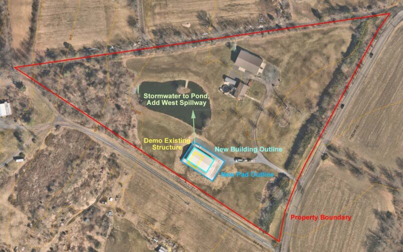
Use of an overhead property map helps to view property areas where a set-back may come into play and also can be used to identify wetlands and other important features including ground slope.
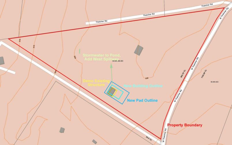
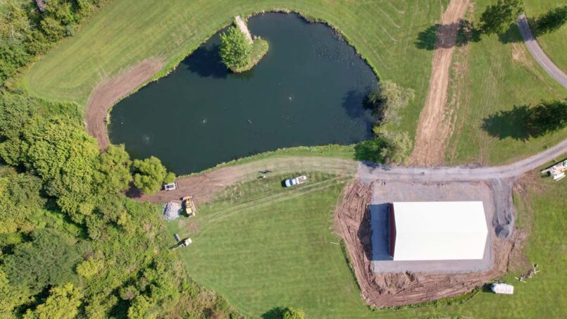
Overhead View of Construction Site
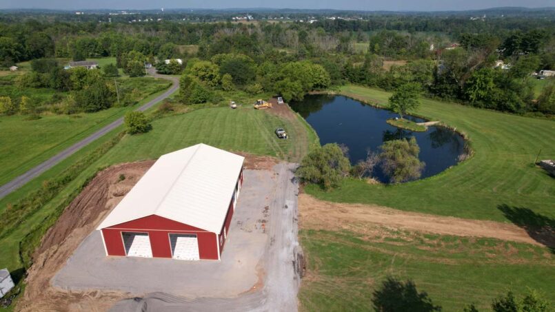
West Looking View of Construction Site
Completed Satellite View with Design Overlay
